Activities · The highlands and the volcanoes
The Jatiluwih rice terraces
Tegallalang is the photograph everyone takes; Jatiluwih, further into Tabanan, is the working terrace system UNESCO actually listed. What the subak is, how far the drive costs, and when the fields turn gold.
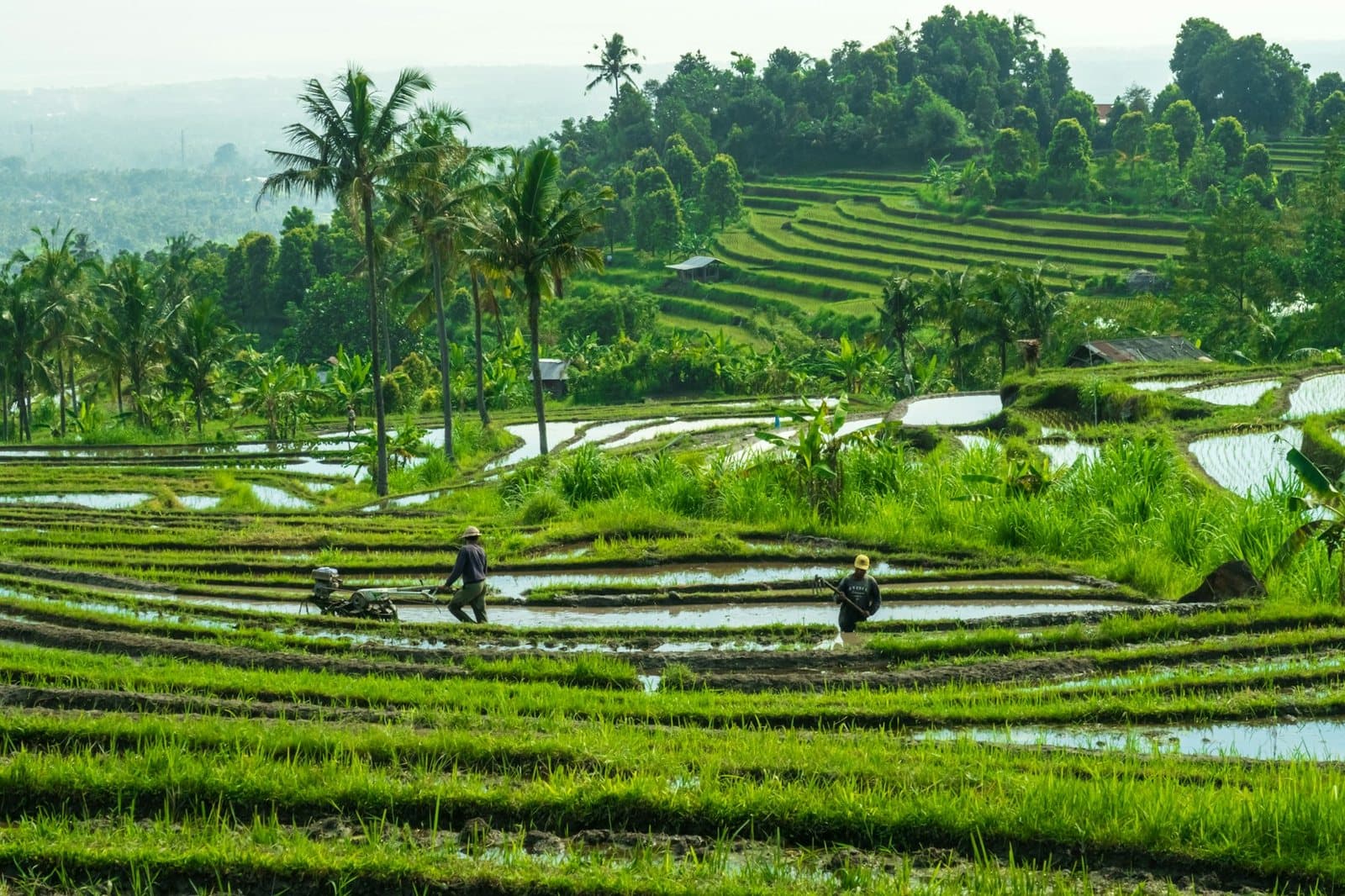
Every rice terrace photograph that circulates out of Bali was taken at Tegallalang, a single hillside twenty minutes from Ubud. Jatiluwih, further into the hills of Tabanan, is the terrace system UNESCO actually listed: hundreds of hectares still farmed by the same water-sharing cooperatives that have run this land for over a thousand years.
What UNESCO listed
The cooperative at the centre of it is the subak, an association of farmers who share a single irrigation source and jointly manage the canals, tunnels and weirs that carry water down from the crater lakes to their fields. Each subak meets at its own water temple to decide planting schedules and water allocation, under a philosophy the Balinese call Tri Hita Karana, the balance between people, nature and the divine. In 2012 UNESCO inscribed the system, not the view of it, under Bali's cultural heritage listing for the subak, naming Jatiluwih as its largest component. The listing is for the governance, the thousand-year-old machinery of who gets water and when, not for how the paddies photograph at golden hour.
The scale Tegallalang does not have
Tegallalang is one photogenic slope worked by a handful of subak, walkable in the time it takes to queue for a coffee. Jatiluwih is hundreds of hectares of terraced paddy climbing the flank of Gunung Batukaru, farmed as a working landscape rather than staged as a backdrop: a viewpoint on the ridge road looks down over a basin of rice that keeps going past the edge of any single photograph. See Tegallalang itself for what the smaller, more famous version looks like and why it draws the crowd Jatiluwih does not.
Walking it
Marked trails loop out from the main road along the irrigation channels and through the working villages between fields, with routes running from a short loop of under an hour to a longer circuit that takes the better part of an afternoon, following the same paths farmers use to reach their own plots. A daily fee funds the subak's upkeep of the trails and channels; the amount changes often enough that we publish none until we can date it from a source.
Light, season and the staggered fields
Because neighbouring subak deliberately stagger their planting to break pest cycles, at almost any time of year some blocks stand flooded and mirror-flat, others show young green shoots, and others are ready for harvest and turning gold, all inside the same view. The terraces read greenest in and just after the wet months, when the water table keeps every channel running full, and harvest turns whole blocks the colour tourists come for. The seasonal guide tracks the rain that drives the difference month by month.
The drive is the real cost
Jatiluwih sits well into Tabanan on winding hill roads, a drive that runs long enough from the southern resorts and from Ubud that it shapes the whole day around it, unlike Tegallalang's short hop from central Ubud. The travel time matrix prices that leg honestly before you commit the morning to it.
At the edge of the largest block, a stone shrine marks the point where one subak's canal splits into two, the decision of how much water each field receives made there, by farmers, the same way it has been made for a thousand years before any committee in Paris gave it a name.